
As infrastructure projects grow in complexity, the demand for smarter as well as more integrated design and construction processes has become essential. Roads and highways—vital lifelines for urban and rural connectivity—demand precision, efficiency and long-term sustainability. This is where BIM has revolutionized how the engineers, designers and contractors approach the transportation infrastructures.
BIM is no longer limited to just the vertical construction; it has evolved into a powerful digital framework for civil infrastructure projects—particularly roads and highways thereby enhancing collaboration, visualization and decision-making across every stage of the project lifecycle.
The Evolving Role of BIM in Transportation Infrastructure
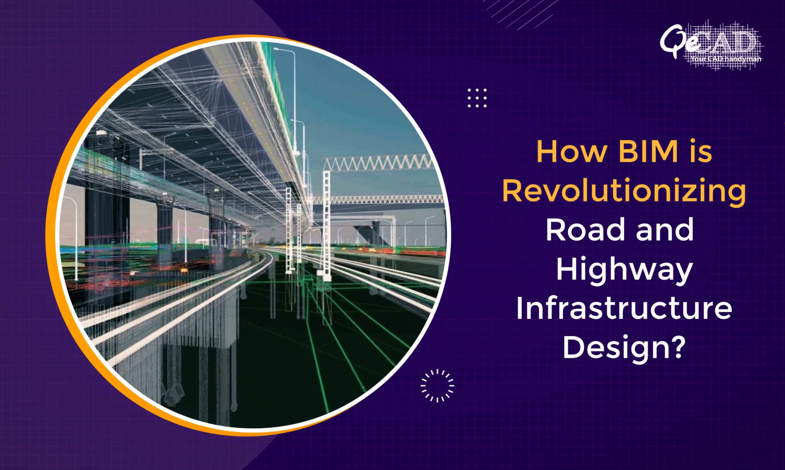
In the context of roads and highways, BIM provides a digital illustration of the physical as well as the operational features of the infrastructure assets. It integrates data from various disciplines say, geotechnical, structural, hydrological and environmental into a unified model thereby allowing the stakeholders to visualize, simulate and also optimize the designs before even the construction begins.
According to a Dodge Data & Analytics SmartMarket Report, nearly 75% of transportation infrastructure owners reported improved project outcomes after implementing BIM workflows. Moreover, the UK National Infrastructure and Construction Pipeline (2023) highlighted that the BIM adoption in road projects can reduce the design time by up to 25% and lifecycle maintenance costs by 20%.
Key Advantages of BIM for Road and Highway Projects
- Enhanced Design Accuracy
Conventional 2D drawings frequently result in misinterpretations and costly reworks during the construction. BIM eliminates these risks by enabling the creation of the 3D parametric models that represents the real-world conditions accurately. Designers can visualize alignments, elevations and terrain data in real-time thus ensuring the geometric precision and compliance with the local standards.
- Improved Collaboration Across Stakeholders
BIM fosters seamless collaboration between the multidisciplinary teams—surveyors, transportation engineers, contractors and government authorities. Through cloud-based coordination platforms, updates and markups can be shared instantly hence reducing the communication gaps and enabling the real-time decision-making.
- Early Detection of Design Conflicts
One of the most significant benefits of BIM Modeling Services in infrastructure is clash detection. The engineers can identify and resolve the conflicts between the utilities, drainage and structural elements during the design phase thus preventing costly delays and change orders later. Research by the U.S. Federal Highway Administration (FHWA) indicates that early clash detection through BIM can save up to 15% of total construction costs.
- Streamlined Construction Planning
Integrating BIM with the time (4D) and cost (5D) data enhances the project scheduling and budgeting accuracy. Construction managers can simulate the sequences, optimize the resource allocation and foresee the bottlenecks before the on-site execution. This proactive approach ensures the maintenance of the timelines and prevents the scope creep.
- Lifecycle Asset Management
The advantages of BIM extends way beyond the construction phase. By integrating the operation and maintenance data, BIM enables the long-term asset management. Facility managers can gain access to the detailed information about materials, maintenance history and performance data thereby supporting the predictive maintenance and sustainability goals.
BIM and GIS Integration for Smarter Road Design
The integration of Geographic Information Systems (GIS) with BIM has opened new avenues for contextual and data-driven decision-making. GIS provides the accurate geospatial data, while BIM models delivers the rich design details. Together, they enable the engineers to analyze terrain conditions, evaluate environmental impacts and optimize the route alignments efficiently.
For instance, in the Norwegian Public Roads Administration’s E39 Highway Project, BIM-GIS integration led to a 40% reduction in reworks and a 30% improvement in design accuracy, setting a benchmark for the digital infrastructure practices globally.
Case in Point: BIM-Driven Highway Modernization
An example worth noting is the Highways England Smart Motorways Programme where BIM was used to model the complex interchange geometries and integrate MEP systems for the roadside technology installations. The digital twin approach improved the coordination between the consultants and contractors thus saving approximately 12% in overall project costs and cutting delivery time by six months.
Why Opt for BIM for Infrastructure Projects?
Adopting BIM For Infrastructure enables the stakeholders to overcome the traditional challenges like fragmented workflows, inaccurate cost estimates and reactive maintenances. It empowers the teams to adopt a proactive, data-centric design approach that enhances the safety, quality and sustainability.
Governments across the world—such as the UK, USA, UAE and Australia—are mandating BIM Level 2 or higher for major transportation projects, further underscoring its importance in future-ready infrastructural development.
Final Thoughts
BIM is transforming the road and highway design into a data-driven, collaborative and sustainable process. It bridges the gap between the conceptual design and construction reality thereby ensuring that every layer of the infrastructure is built with precision and foresight.
As urbanization accelerates and sustainability goals intensifies, BIM will continue to play a pivotal role in optimizing the planning, construction and operation of transportation networks worldwide.
Whether you’re a public agency, design consultant or construction firm, embracing BIM in road and highway projects is no longer optional but is the key to building smarter, safer and more resilient infrastructure for the future.